Illinois offers some of the best rail trails in the nation

It all started in the mind of a Chicago-area woman. In 1963 the late naturalist May Theilgaard Watts kicked off the national rail trails movement when she wrote a letter to the Chicago Tribune proposing that the abandoned rail line near her suburban Chicago home be converted to a long trail.
Watts wrote, “The right-of-way of the Aurora electric road lies waiting. If we have the courage and foresight …then we can create from this strip a proud resource.”
Her idea caught on, and eventually that rail line became the Illinois Prairie Path, the centerpiece of Chicagoland rail trails.
Inspired by this example in Chicago’s western suburbs, rail trail projects were soon under way all over the country.
While the Prairie Path wasn’t the first rail trail in the nation, Illinoisans can take pride in their state’s role in starting the rail trails movement and helping to inspire the creation of more than 25,000 miles of trails throughout the US.
And Illinois was one of the states best poised for kicking off this national movement. As the railroad hub of the nation, old railroad lines were constantly being abandoned and sold off.
Thanks to Watts and many others who have volunteered their time and effort over the years, Illinois claims more than 1,000 miles of existing rail trails and is in 8th place among the states for rail trail mileage.
RAIL TRAILS SPANNING THE STATE
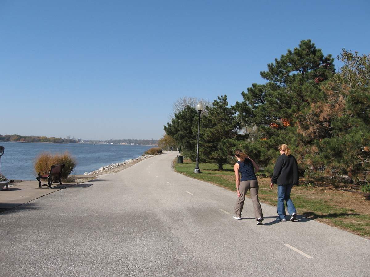
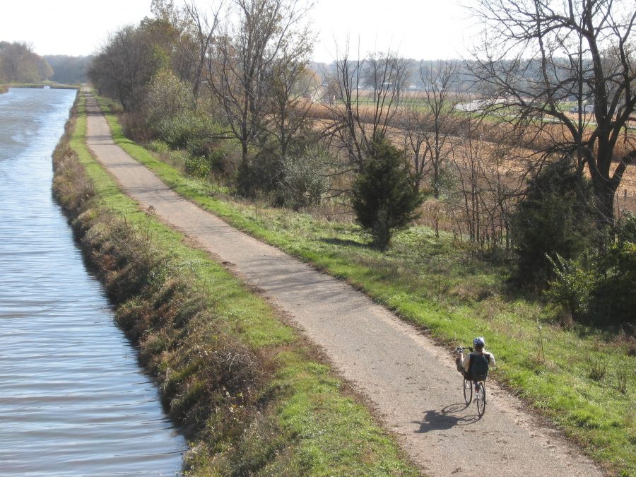
These trails allow you to explore some of the state’s most beautiful settings. We have 80 miles of trails along the shore of the Mississippi River that run through charming river towns and nationally protected wetlands.
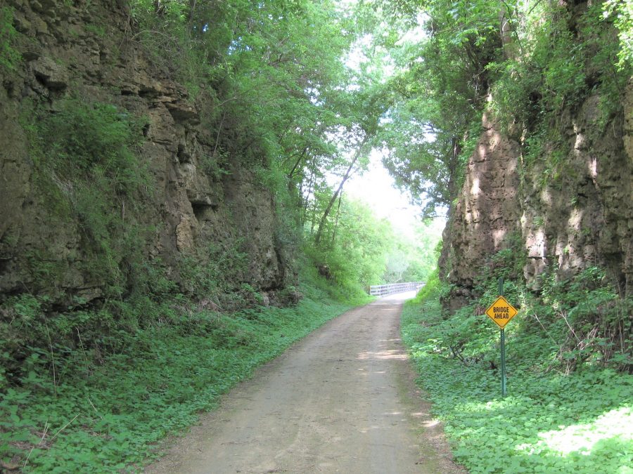
In southern Illinois the Tunnel Hill Trail extends for nearly 50 miles through the bottomland woods of the Cache River Wetlands and the rugged terrain at Shawnee National Forest.
Ambitious trail users can cross nearly the entire northern part of the state by hopping from the Old Plank Road Trail to the I&M Canal Trail to the Hennepin Canal Trail.
In addition to the large concentration of rail trails near the metropolitan areas of St. Louis and Chicago, many people are surprised to learn about excellent trails in the central Illinois cities of Bloomington, Decatur, Springfield, and East Peoria.
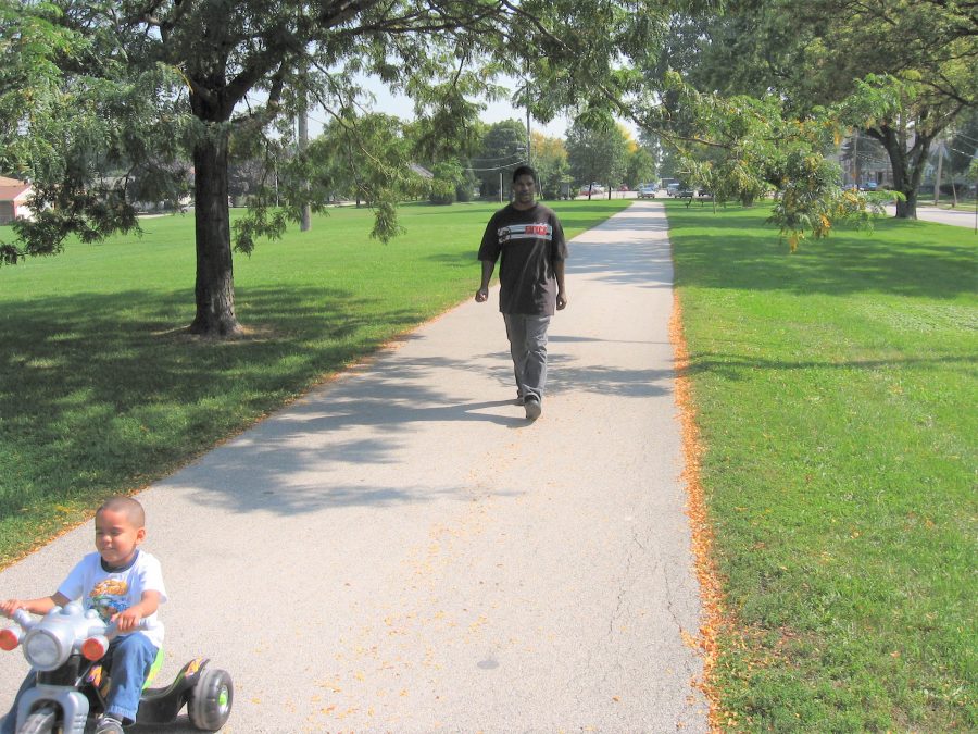
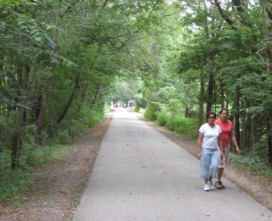
These urban and suburban trails introduce you to pleasant neighborhoods, city parks lush with greenery, and attractive downtown districts. In many cases, you’ll have the opportunity to combine your trip with visits to museums, restaurants, and shops.
THE RAILROAD HUB OF AMERICA
Following Texas, Illinois hosts the most miles of railway in the country. Efficient movement of coal, grain, lumber, and passengers enabled Illinois to become the agricultural, manufacturing, and cultural center of the Midwest.
The Illinois railroad boom began in 1850 when the Illinois Central Railroad received 2.5 million acres as a federal land grant to build what would be the longest railroad in the world at that time.
The Illinois Central Railroad had a profound effect on the direction and pace of development of central Illinois.
In the 1850s, when the middle of the state possessed a meager population, the railroad laid out towns every 10 miles along the train route.
Within these towns, main streets often led to the train depots. Typically, the north–south streets were numbered and east–west streets were named after trees. And of course the railroad company named the town—typically for company bigwigs. By 1884 the Illinois Central Railroad had named thirty-two Illinois towns.
In coming years, dozens of railroad lines sprang up in every corner of the state. Some were just a few miles long; some branched out over North America.
In 1939, thirty-three interstate railroads ran into multiple Chicago train stations. The stations themselves often were magnificent structures that celebrated the ascendancy of the railroad.
Railroads were the primary means of long-distance transport for almost a century. Then in the mid-twentieth century, when the automobile became affordable for the average family and trucks started transporting more goods, the railroads lost ground and many lines were abandoned.
WHY RAIL TRAILS ARE IMPORTANT
Rail trails are the perfect answer to the question of what to do with innumerable miles of abandoned railway throughout the nation.
Rail trails provide answers to other pressing questions, too, such as:
- How do you encourage more people to exercise and spend time outdoors?
- How do you foster alternative modes of transportation?
- How do you preserve the rich history that developed alongside thousands of miles of national railroads?
- How do you connect communities and make them more walkable and bikeable?
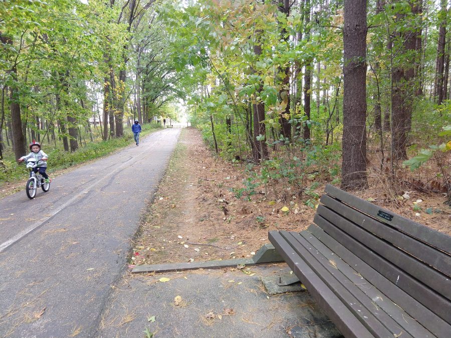
Whether you’re cycling, walking, running, in-line skating, cross-country skiing, riding a horse, or using a wheelchair, rail trails offer a peaceful setting to pursue these activities.
Sure, users must negotiate cross streets with traffic, but generally multiuse paths provide welcome relief from tailpipe emissions, noise, and the hazards of traffic. This is why parents find rail trails an especially attractive option for getting outdoors with kids.
THE GROWING APPEAL OF TRAILS
In urban and suburban areas, multiuse trails have started taking the next evolutionary step: They have become routes for transportation as well as recreation.
Many of the busier multi-use trails around Chicago, for example, host bike commuters throughout the day.
With the awareness of climate change growing and the cost of operating an automobile climbing, the appeal of rail trails as a transportation option only grows stronger. The transportation role played by rail trails will only increase in years to come.
During the onset of the COVID-19 pandemic, the number of people using trails surged as we sought convenient places to experience nature, decompress, and get some exercise.
As a result, more government agencies and advocacy groups realized the essential role that trails can play in people’s lives. It also showed the necessity of having trails close to where people live.
As digital screens proliferate and social media apps vie for our attention, we need places to slow down and let our minds and bodies settle into the calming influence of the natural world.
Rail trails offer exercise and relaxation, scenery and tranquility, and more and more serve as a place for social engagement.
South of Chicago, the pleasant little town of Frankfort holds a farmers’ market each weekend during the summer along the Old Plank Road Trail. Trail users stop in at the market for their lunch and then sit down to enjoy live music on the adjoining village green. Some trail users have taken full advantage of this alliance between the trail and the market by making weekly trips along the trail specifically for visiting the farmers’ market.
After walking, running, and biking thousands of miles of trails in Illinois and throughout the Midwest, I’ve decided that people are at their best while on trails. Friendliness prevails. Relationships are strengthened. A spirit of good will is inescapable.
Need to renew your affection for your fellow humans? It may sound a little silly, but trails can actually do that. I’m often taken aback at how something so seemingly mundane as a trail can have such a magical effect.
WHAT KINDS OF TRAILS ARE YOU LOOKING FOR?
While researching and writing Best Rail Trails Illinois, I had the pleasure of exploring about 60 of the state’s rail trails. Here are some of my favorites in specific categories.
Best trails alongside rivers
Cal-Sag Trail: Enjoy plenty of striking natural scenery on this 11.5-mile trail as it threads its way alongside a historic shipping channel in Chicago’s southwest suburbs. Adding to the appeal are two excellent parks along the way: Lake Katherine Nature Center and Botanic Gardens and Palos/Sag Valley Forest Preserve.
Fox River Trail: As this nearly 33-mile pathway hugs the Fox River between Aurora and Algonquin in far west Chicagoland, it passes numerous community parks and forest preserves. The towns the trail passes through—Elgin, St. Charles, Geneva, Batavia, Aurora—contain plenty of dining options as well as attractive urban riverfront areas with flower and sculpture gardens, pedestrian bridges, and scenic walkways.
Mississippi River Trail—Thomson to Fulton: This 10.3-mile trail between the two Mississippi River towns of Thomson and Fulton offers a pleasing collection of scenic riverside spots. Near Thomson, located about 40 miles north of Moline, the trail brushes against a beautiful, bird-laden wetland area and an unusual sand prairie.
Trails offering interesting history
I&M Canal Trail: Rich with history, this 61.9-mile crushed gravel path runs from the outskirts of Joliet west to the town of La Salle. From end to end, the route wanders through a variety of landscapes: dense woods, marshes, prairies, riverbanks, and agricultural land. You’ll encounter a series of charming small towns that grew up alongside the canal.
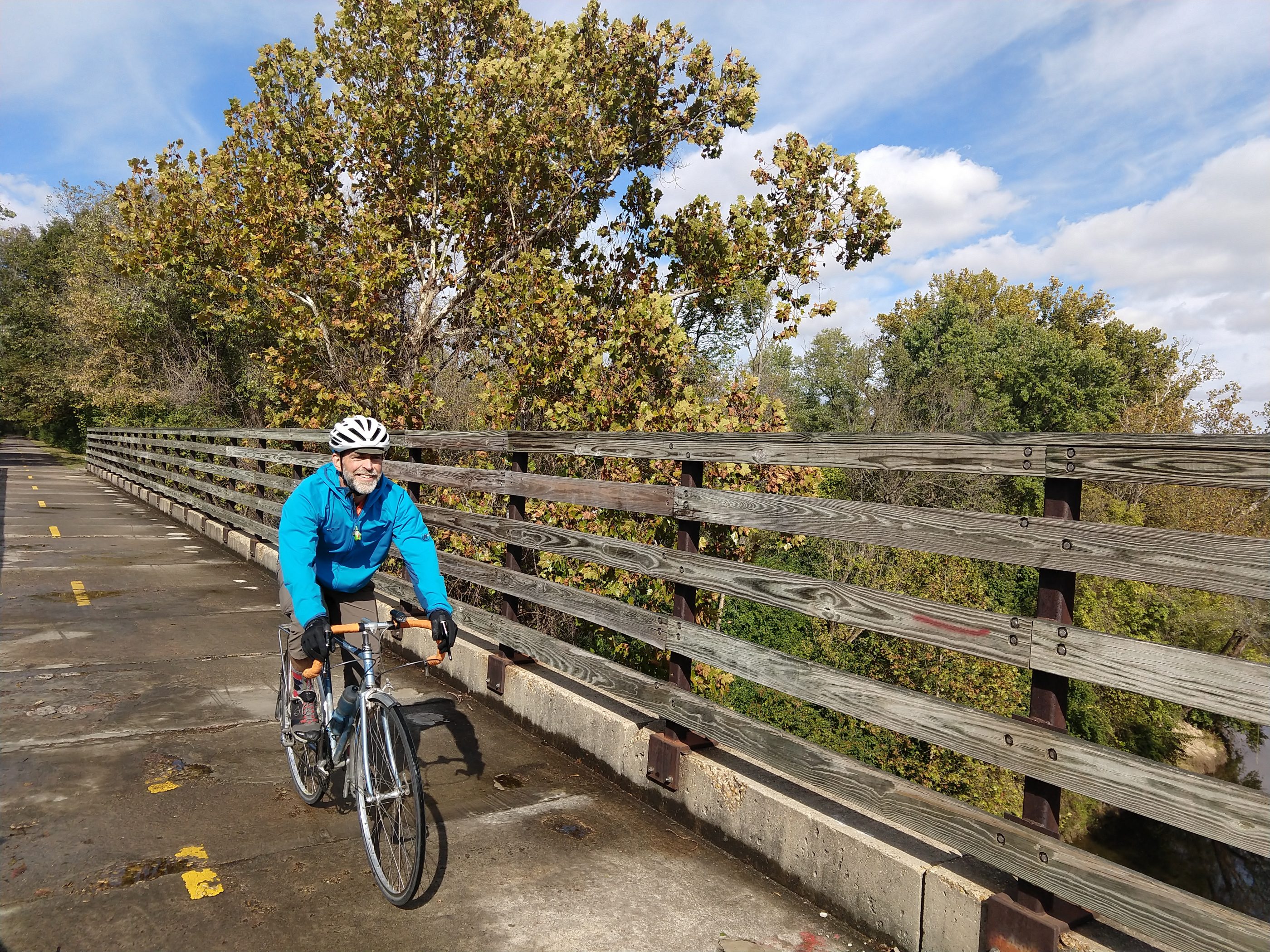
Hennepin Canal Trail: While following this 60.3-mile former towpath alongside the Hennepin Canal, you’ll encounter many miles of open space and agricultural land, as well as patches of woodland and prairie. From the western end of the trail in the Quad Cities, the trail angles southeast into a profoundly quiet rural landscape. The remoteness factor is striking, as are the old railroad bridges, thirty-two locks (many with the original mechanical hardware intact), and six aqueducts that carry the canal over streams and rivers.
Best trails in rural areas
Tunnel Hill State Trail: Along this 53.6-mile trail located in the southern tip of the state, you’ll see ravines, rocky streams, sprawling wetlands, wooded bluffs while getting a taste of the state’s Shawnee National Forest. In between the seven towns, as well as several ghost towns that disappeared after the trains stopped running, you’ll cross twenty-three trestle bridges, some of which are astounding spans of metal latticework reaching out over deep ravines.
Rock Island State Trail: As you explore this 34.1-mile trail that runs north from Peoria, you’ll enjoy the wooded ravines, the pastoral scenery, the many bridges over winding prairie creeks. Several quiet little towns along the way offer places to rest and eat.
Prairie and Hebron Trails: As you trace the entire north-south length of McHenry County in northwest Illinois, you’ll encounter towns like Crystal Lake, McHenry, Ringwood, and Richmond, as well as stunning natural areas at Sterne’s Woods, Glacial Park, and Nippersink North Branch Conservation Area. After finishing the Prairie Trail, the route heads west for 6.6 miles along the Hebron Trail. Together, the Prairie and Hebron Trails add up to 30.9 miles.
Jane Addams Trail: The Jane Addams Trail offers a satisfying 13-mile ramble through wetlands, prairie, wooded landscapes, and farmland north of Freeport. While following the Richland Creek floodplain, the trail crosses twenty-one wooden bridges and cuts through a handful of pleasant little towns and hamlets.
Quercus Grove Trail: This 15.9-mile trail shadows long stretches of the historic Route 66 as it runs northwest from St. Louis. As you make your way between three small towns, you’ll have options for seeing Route 66-related attractions along the way. Like its sister the Nickel Plate Trail, the Quercus Grove Trail takes you to the furthest reaches of the Metro East region where farms and open views prevail.
Best trails through urban areas
Chicago Lakefront Trail: Two dozen beaches, several harbors, a handful of world-class museums, a free public zoo, and an assortment of restaurants steps from the trail—what more do you want on this 17.7-mile trail? How about stellar views of the famous Chicago skyline against the big lake?
Constitution Trail: Get to know the cities of Bloomington and Normal by following the Constitution Trail for 11 mils through the center of each town. The tree-lined north section of the trail takes you through Normal’s new residential areas, public parks, and downtown. To the south in Bloomington, you’ll see the town’s old warehouse district and pleasant residential neighborhoods before heading west into the outlying countryside.
MetroBikeLink Trail: The scenery of this newer 14-mile trail is persistently interesting as it toggles between town and country, following the route of the MetroLink commuter train through Metro East. While the entire trail is thoroughly enjoyable, the east end is the most scenic as you pass underneath wooded bluffs, cross wooden bridges, mount small hills, and follow the path of Schoenberger Creek as it wiggles its way through the bottom of a ravine.
Most varied trail
The Nickel Plate Trail: There’s loads to take in while on the longest trail in Metro East: lush woodland alongside Judy’s Branch Creek, an assortment of trailside parks, the sprawling rural landscape, and the unusual historic community of Leclaire. The western, more urban part of the trail, runs through the towns of Glen Carbon and Edwardsville while the eastern portion exposes you to the wide open farmland of rural Madison County.
Best hidden gems
Sangamon Valley Trail: The highlights of this 11.5-mile-long trail located on the western outskirts of Springfiled, without a doubt, are the captivating views from soaring bridges over two small creeks and the mighty Sangamon River. In addition to these soaring bridges that take you through the treetops, there are three parks along this scenic trail.
Stevens Creek/Rock Springs Trails: As you follow Stevens Creek along the western edge of Decatur, the this 6.5 mile route winds and wriggles about as much as the creek itself. And the lovely vistas just keep coming as you make your way to Rock Springs Conservation Area, the largest park in the county.
______________
 Through his books and speaking appearances, Ted Villaire has helped many thousands of people get outside and connect with the natural world in the Prairie State. He’s the author of 60 Hikes within 60 Miles: Chicago, Best Bike Rides Chicago, Road Biking Illinois, Best Rail Trails Illinois, and Camping Illinois. Get in touch at ted@tedvillaire.com.